Dealer in Rare and First-Edition Books: Western Americana; Mystery, Detective, and Espionage Fiction
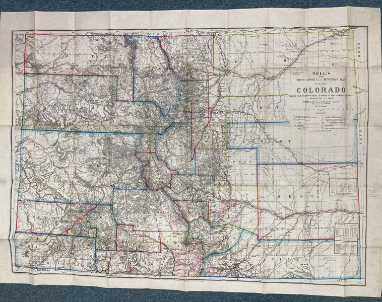
Topographical And Township Map Of Part Of The State Of Colorado Exhibiting The San Juan, Gunnison And California Mining Regions
LOUIS NELL
Other works by LOUIS NELLPublication: Compiled from U S Government Surveys & Other Authentic Sources, 1880, Washington
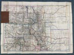
First edition. Colorful 30" x 40" map that folds into a 6 1/2" x 4 1/4" brown cloth binder with titles stamped in gilt on the front cover. T. W. Streeter says "This is a fine and very early map for the mining developments in southern Colorado. It extends from the boundary with New Mexico north to little above 39^30' and from 105^ to a little west of 109.^ I believe it is rare, at any rate I never hear of another copy." Streeter acquired his copy from Edward Eberstadt in 1952. Eberstadt notes: "One of the finest maps of the period of southwestern Colorado and its many new mining strikes, towns, roads, camps, etc." Numerous editions of this map would follow. A very important map with very few appearing on the rare book market, which suggests that Streeter was correct in his assumption of the map's rarity. Map is very colorful and fine overall with cloth binder showing minor to light wear to the spine ends and corners.
Inventory Number: 52799Sold -- Contact us


