Dealer in Rare and First-Edition Books: Western Americana; Mystery, Detective, and Espionage Fiction
Time Tables. 4-1-1887
Chicago, Milwaukee & St. Paul Railway
Other works by Chicago, Milwaukee & St. Paul RailwayPublication: Privately printed, 1887, NP
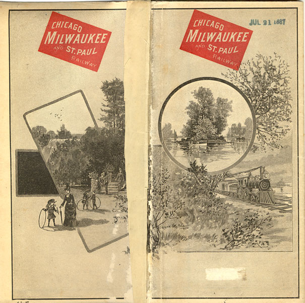
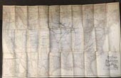
24" x 38" sheet folded to 60 panels with cover panels depicting a boat and train scene on front panel and depicting a park scene on the rear panel. Opens to 30 panel map of the United States with pink outlining each state and showing their lines and connections, primarily from Chicago & Milwaukee to Kansas City, Omaha and into the Dakota. Inset is a 5/1/2" x 8" map of Mexico. Backed with map of Chicago, views of depots in Chicago and Milwaukee, time tables, and information for passengers, information about the railway, rates for sleeping cars, rates and information on steamship line from San Francisco to Yokohama, Hon Kong, Honolulu and Sydney. Lightly soiled and with wear to extremities, slight splits at some fold junctures, stub along rear hinge, suggesting this was removed from a trip scrapbook. Good.
Inventory Number: 37709


![World War I Sheet Music ... They Were All Out Of Step But Jim BERLIN, IRVING [WORDS AND MUSIC BY]](/media/images/thumb/40191.jpg)


