Dealer in Rare and First-Edition Books: Western Americana; Mystery, Detective, and Espionage Fiction
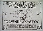
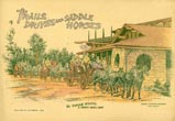
Thousand Island's St. Lawrence River / [Title Page] Thousand Islands And St. Lawrence River. "The Venice Of America." 121 Photographic Views Of The Island Region. Reproduced In Sepia And Natures Own Colors. Automobile Road Map Of Northern New York
Santway Photo-Craft Company
Other works by Santway Photo-Craft CompanyPublication: Santway Photo-Craft Company, nd ca 1917, Watertown, ca 1917
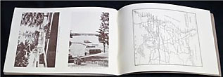
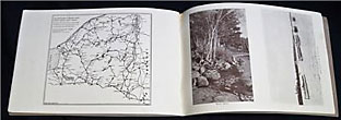
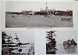
[64] pp. Illustrations. Maps. Two pages of text about Thousand Islands and the St. Lawrence River and state park lands followed by 61 pages of photographs. Pictures include Snow Shoe Bay, Henderson Harbor, Fort Haldimand, various residences on various islands, Calumet Island, Thousand Island Park, street scenes, Grenell Island Park, Eel Bay, Stave Island, Wellesley Island, several aerial views of islands, Lost Channel, various steamships,
The Narrows and Palisades, Deer Island, Dark Island, Jewel Island, Indian Rock, Sport Island, Hopewell Hall, Linden Cove, Cherry Island, Heart Island, panoramic views of the islands as seen from Alexandria Bay, Alster Tower, Devil's Oven Island, Rose and Gypsy Island, Birch Shore, the Oswegatchie River, etc. At center is a double-page map of Thousand Islands and the St. Lawrence River, showing parks, state lands, steamboat routes, etc. Inset is a 2" x 8" map of Alexandria Bay and vicinity showing automobile roads. 1-page automobile road map of Eastern United States; 1-page automobile road map showing Northern New York. Light soiling to first couple pages along with 1" split to head of spine that has been repaired on inside with cellophane tape. Very good. A very nice collection of photographs.

![Thousand Island's St. Lawrence River / [Title Page] Thousand Islands And St. Lawrence River. "The Venice Of America." 121 Photographic Views Of The Island Region. Reproduced In Sepia And Natures Own Colors. Automobile Road Map Of Northern New York Santway Photo-Craft Company](/media/images/large/44048.jpg)


