Dealer in Rare and First-Edition Books: Western Americana; Mystery, Detective, and Espionage Fiction
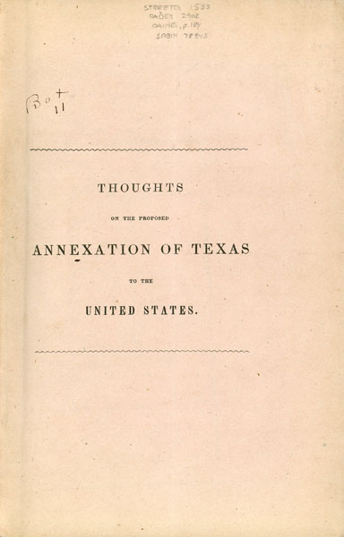
Thoughts On The Proposed Annexation Of Texas To The United States. First Published In The New York Evening Post, Under The Signature Of Veto
Sedgwick, Theodore
Other works by Sedgwick, TheodorePublication: Printed by D Fanshaw, 1844, New York
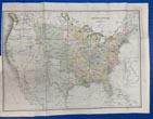
First edition. 8vo. Original printed wrappers, 55 pp. plus a 53 x 38 cm. [22 1/2" x 15"] colored folding map tipped-in before the title page and titled "United States of America." An interesting map that shows the United States, Mexico, Texas, and British Possessions (Canada). There is also an inset of Great Britain. The map is colored in shades of pink, yellow, blue, and green, and shows Texas with her rather unusual 1844 boundaries. Much of the land west of the Mississippi River to the Rocky Mountains is still noted as part of Louisiana, and Oregon has yet to become a territory. Iowa and Wisconsin include what would be Minnesota. Upper California and Lower California are included as parts of Mexico. The book provides the author's opinions about the annexation of Texas to the United States with discussions of issues that arise if Texas is annexed into the Union. Issues addressed include slavery and diplomatic relations between Texas and Mexico. Streeter Texas 1533 says "This is a lengthy and learned argument against annexation, with much space devoted to a reply to Walker's Letter. That our ancestors enjoyed these long dissertations is shown by the various publications of these Thoughts on Annexation. This copy is from the library of Fred White, Jr. and it was he who most likely had the map tipped-in to the volume. The map does not appear in other copies. Very good copy housed in a clamshell case with titles stamped in gilt on a leather spine label.
Inventory Number: 52860


![Report Of The Governor Of Arizona To The Secretary Of The Interior 1896 FRANKLIN, B. J. [GOVERNOR OF ARIZONA]](/media/images/thumb/46787.jpg)
![[Indian Affairs] [Pawnee Indians] Letter From The Secretary Of The Interior, Communicating Estimates For Fulfilling Treaty Stipulations With The Pawnee Indians. J. THOMPSON](/static/basic_cms_store2/img/CoverNotFound2.jpg)


