Dealer in Rare and First-Edition Books: Western Americana; Mystery, Detective, and Espionage Fiction
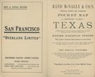
The Rand-Mcnally Indexed County And Railroad Pocket Map And Shippers' Guide To Texas Showing All Railroads, Cities, Towns, Villages, Post Offices, Lakes, Rivers, Etc. Corrected To Date. (Cover Title)
RAND MCNALLY & COMPANY
Other works by RAND MCNALLY & COMPANYPublication: Rand McNally & Company, 1912, Chicago
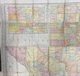
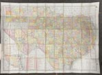
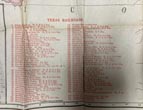
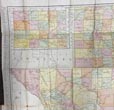
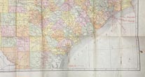
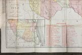
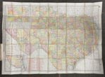
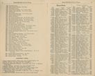
First edition. 12mo. 6 1/2" x 4" brown stiff, printed wrappers, 102 pp., illustrated, advertisements, large color folding map. Large color map is 28" x 39" with two inset maps and red over printing indicating railroads keyed to the index. This updated Rand McNally Texas pocket map, with several revisions and changes since the 1903 original version of the map. This version includes updated census information, burgeoning illustrated advertisements of the many different Texas Hotels, and of particular interest are the 80 railroads located with red numbering, keyed to the index in the reference guide. The lower inset shows the Southern tip of the State to Brownsville with a portion of Mexico. These Rand McNally pocket guides also indexed for the traveler the cities, towns, villages, post offices, lakes, rivers, and other places of interest. Covers lightly soiled, small corner chip to top edge of rear cover panel, light wear to the fore-edges, light wear to the top corner of the last few pages, a bit of light soiling to a few pages, else a very good copy.
Inventory Number: 49371



![Theodore W. Miller, Rough Rider, His Diary As A Soldier Together With The Story Of His Life VINCENT, GEORGE E. [EDITED BY]](/media/images/thumb/38961.jpg)


