Dealer in Rare and First-Edition Books: Western Americana; Mystery, Detective, and Espionage Fiction
The B And O. The Model Fast Line Via Washington. The Picturesque Line Of America
BALTIMORE & OHIO RAILROAD COMPANY
Other works by BALTIMORE & OHIO RAILROAD COMPANYPublication: American Bank Note Co, 1881, New York
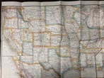
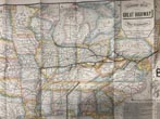
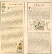
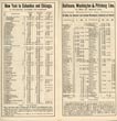
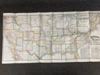
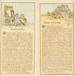
16" x 32" one sheet, printed two sides. One side is a full color map of the U. S. A. by Rand McNally & Company and titled "The Eastern Span Of The Great Highway Of The Continent From Great Rivers And Lakes, Across Prairies, Over The Alleghenies, Down The Valley Of The Potomac To The Sea." The principal route is detailed and is from New York City to Chicago and St. Louis, with stops along the route. The other side consists of 16 panels each measuring 8" x 4" with 8 panels providing destinations, time tables, and rates; 6 panels have color illustrations and provide information of points of interest; the remaining 2 panels are in color and form the front and rear covers. Covers lightly used, else a very good copy. A truly beautiful production.
Inventory Number: 48990


