Dealer in Rare and First-Edition Books: Western Americana; Mystery, Detective, and Espionage Fiction
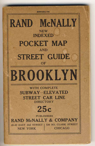
Rand Mcnally New Indexed Pocket Map And Street Guide Of Brooklyn With Complete Subway-Elevated Street Car Line Directory
RAND MCNALLY & COMPANY
Other works by RAND MCNALLY & COMPANYPublication: Rand McNally & Company, 1919, New York and Chicago
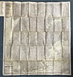
First edition. Original Wrappers. 48 pp., text. Large, folding map dated 1917 and printed in black and red, opens to 32" x 30". Folds into printed, tan card covers, 6.5" x 4" [Map dated 1917, title-page dated 1919. [OCLC locates only the NYPL holding of this map.]. The index provides information on street names and locations, parks, cemeteries, subway lines and stations, elevated lines and stations, surface lines and routes, and piers. A listing of abbreviations is also provided. Map has small slits at some folds along with a few old water droplets to the front cover, else a very good, tight copy.
Inventory Number: 41210$450.00


