Dealer in Rare and First-Edition Books: Western Americana; Mystery, Detective, and Espionage Fiction
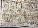
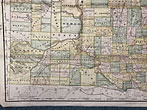
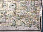
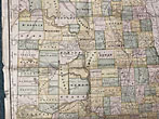
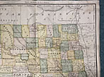
Rand, Mcnally & Co.'S Dakota Territory Map
Rand Mcnally & Company
Other works by Rand Mcnally & CompanyPublication: Rand McNally & Co, 1884, Chicago
26" x 20 1/4" hand-tinted map of Dakota Territory showing Indian reservations, forts and railroads. Light wear, light creasing, age-toning and spotting. Short closed tears and with one 1" chip to edge. Clear tape at folds on verso. Good. A very nicely produced map.
Inventory Number: 48552$850.00



![Kachinas As I See Them. Volume I. (Cover Title) SCHWARTZ, DON [TEXT AND PHOTOGRAPHS BY]](/media/images/thumb/49758.jpg)


