Dealer in Rare and First-Edition Books: Western Americana; Mystery, Detective, and Espionage Fiction
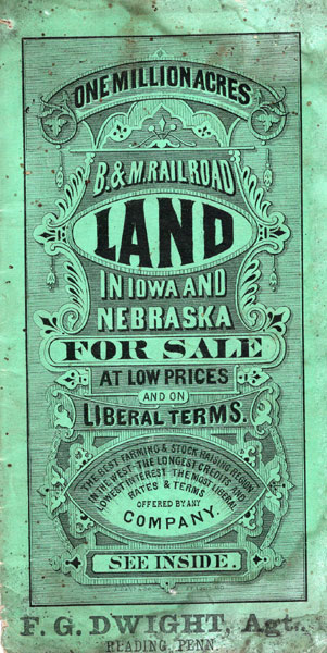
One Million Acres - B & M Railroad Land In Iowa And Nebraska For Sale At Low Prices And On Liberal Terms. The Best Farming & Stock Raising Region In The West - The Longest Credits And Lowest Interest - The Most Liberal Rates & Terms Offered By Any Company (Cover Title)
CHICAGO, BURLINGTON & QUINCY AND BURLINGTON & MISSOURI RIVER RAILROAD COMPANIES
Other works by CHICAGO, BURLINGTON & QUINCY AND BURLINGTON & MISSOURI RIVER RAILROAD COMPANIESPublication: Privately printed, n d (ca 1878), N P
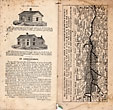
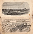
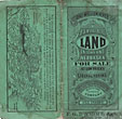
First edition. 18.3 X 9.7 cm [7 1/4" x 3 3/4"] original green decorated, sewn wrappers, 32 pp. frontispiece [Plate: Looking South-West From Lincoln, Neb.], illustrated, three maps. Inside front cover provides a map of South eastern Nebraska showing 950,000 acres of land for sale; inside rear cover provides a map of Southern Iowa showing 50,000 acres for sale; and rear cover provides a map showing the leading through routes to the West and the lands offered for sale. The land in Nebraska is offered at from $1.50 to $8.00 per acre, sold on ten years credit at six percent interest, with a 45 percent discount for payment in cash. The land in Iowa is offered at from $5.00 to $15.00 per acre sold on ten years credit and at six percent interest, with 35 percent discount for payment in cash. To encourage prospective buyers the railroad offers: "Every settler upon a new western farm helps to solve the labor problem. He can produce his own bread and meat, while he swells the demand for manufactured articles, and to that extent aids the laborers engaged in their manufacture." Stamp of F. G. Wright, Agt., Reading Penn." at bottom of front cover, a small old water stain to bottom edge of a few outer pages, covers and a few end pages have tiny dot flecks, probably caused by flies as there is a small stringed loop for hanging the booklet at the top edge, covers are soiled, but the overall condition is sound and quite serviceable. Overall a good copy of a very scarce report.
Inventory Number: 45151

![Report On The Geology Of The High Plateaus Of Utah DUTTON, C. E [CAPTAIN OF ORDNANCE, U. S. A.]](/media/images/thumb/51788.jpg)
