Dealer in Rare and First-Edition Books: Western Americana; Mystery, Detective, and Espionage Fiction
New York Central Lines Travel Series No. 3. America's Summer Resorts
NEW YORK CENTRAL LINES
Other works by NEW YORK CENTRAL LINESPublication: Privately printed, n d (ca 1900), N P
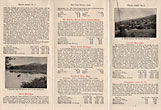
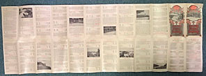
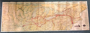
8 1/4" X 4" color, pictorial wrappers, unfolds to 16 1/4" x 48," with 24 panels per side. One side is a color map of the New York Central Lines, The Great Central Railway System of America with more than 12,000 miles of railway east of Chicago and St. Louis. A vignette of New York's Grand Central Station is shown along with a listing of lines that comprise the New York Central Lines. Also touted is the line that provides the fastest service, has Pullman sleeping cars, dining cars, etc. The route travels from New York, Boston and Montreal in the east to as far west as Minneapolis - St. Paul. Minnesota. All routes are detailed in red as well as health and pleasure resorts. The other side is made up of 24 panels each detailing a suggested area for a summer vacation complete with a brief sketch of the area plus travel costs from different locations and one way and round trip fares. A sound very good copy.
Inventory Number: 43673


