Dealer in Rare and First-Edition Books: Western Americana; Mystery, Detective, and Espionage Fiction
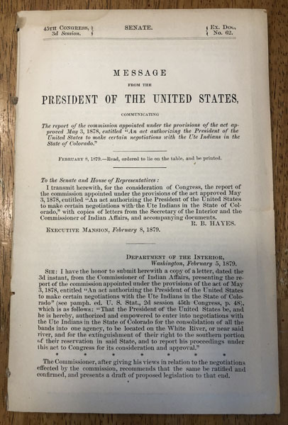
Message From The President Of The United States, Communicating The Report Of The Commission Appointed Under The Provisions Of The Act Approved May 3, 1878, Entitled "An Act Authorizing The President Of The United States To Make Certain Negotiations With The Ute Indians In The State Of Colorado."
R. B. HAYES
Other works by R. B. HAYESPublication: Government Printing Office, 1879, Washington
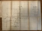
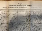
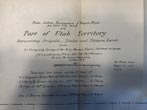
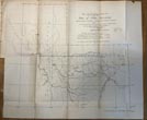
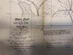
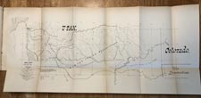
First Edition. Disbound. 61pp. 4 large folding Maps. Senate. 45th Congress, 3rd Session. Ex. Doc. No. 62. A detailed report, accompanied by 4 important maps, presenting an agreement with the Ute Indians regarding "the consolidation of all of the Ute bands into one agency, to be located on the White River, or near said river, and for the extinguishment of their right to the southern portion of their reservation", and seeking a ratification from Congress. All 4 maps are in fine condition: Wagon Road From Salt Lake City To Uintah Agency, Utah and Indian Reservation--26"x12"; Uinta Indian Reservation and Wagon Road From Heber City Thereto With Part of Utah Territory, Representing Irrigable, Timber and Pasture Lands--20"x17.375"; Map of Western Portion of Colorado Showing Ute Reservation With Lands Ceded and Proposed New Reservation--15.25"x22"; and Wagon Road From Fort Steele, Wyoming Via Rawlins, Union Pacific Rail Road to White River Agency, Colorado--20.5"x15.5". The commission that negotiated this agreement were Major General Edward Hatch, Hon. William Stickney, and attorney, N. C. McFarland. The ultimate agreement pertaining to the negotiated lands was further affected by the uprising of the White River Utes in September, 1879, when they killed their agent, Nathan C. Meeker and 8 employees, and carried off Meeker's wife and daughter, and another woman and her 2 children. Two short closed tears to fore-edge of first page and a small, very light dampstained spot along top edge.
Inventory Number: 53074
