Dealer in Rare and First-Edition Books: Western Americana; Mystery, Detective, and Espionage Fiction
Maxwell Land Grant Mining Districts, Colfax County, New Mexico. Short History And Description Of This Mineral Country, With A Map And Geological Section; Also The Mineral Regulations For Prospectors And Intending Locators.
MAXWELL LAND GRANT COMPANY
Other works by MAXWELL LAND GRANT COMPANYPublication: The Maxwell Land Grant Company, 1897, Raton, New Mexico
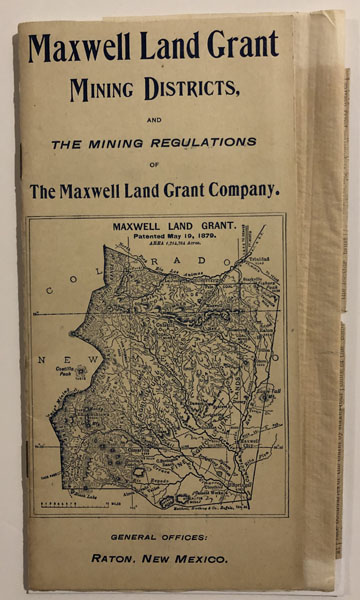
First Edition. Stiff Pictorial Wrappers. 16pp. Four Photographic Illustrations. Folding Map. The folding map, entitled Map of the Maxwell Land Grant Mining Districts Nos.1,2,3,4 and 7, Colfax County, New Mexico (16.5"x8.5"). Small map of The Maxwell Land Grant on front wrapper. Map on rear wrapper advertises The Santa Fe Route as the means to reach The Maxwell Land Grant gold mines via the Atchison, Topeka and Santa Fe Railway, with daily stage service from Springer, New Mexico. The majority of the text presents the Mining Regulations of The Maxwell Land Grant Company. Tipped-in to the rear wrapper is a carbon copy of a letter issued by the Superintendent for the Board of Trustees of The Maxwell Land Grant Company, T. A. Schomburg, and dated July 18, 1898. It bears amendment to the Company's mining regulations. Also tipped-in at the same point are the regulations as printed in the Elizabeth [NM] Miner of Dec. 25, 1898. Letter is cut horizontally along fold, but complete and otherwise, fine. A near fine copy, with relevant additions.
Inventory Number: 53011


