Dealer in Rare and First-Edition Books: Western Americana; Mystery, Detective, and Espionage Fiction
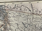
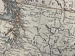
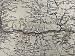
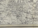
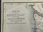
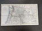
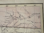
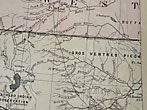
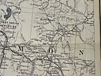
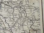
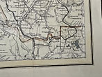
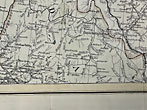
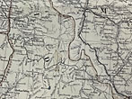
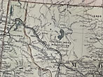
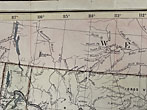
Map: Route From Fort Ellis, Montana To Fort Hope, British Columbia, Traveled By General Sherman July Ans August 1883, As Shown By Heavy Black Line
U. S. ARMY
Other works by U. S. ARMYPublication: Privately printed, 1883, N P
14 1/8" x 26 3/4" map on a printed one side on a 14 1/8" x 28 3/4" sheet. Detailed map with hand tinted borders. General William Tecumseh Sherman, Commanding General of the United States Army, made a last inspection tour across the West in 1883, before his retirement. Sherman's journey of nearly 11,000 miles was in many respects a repeat of his earlier trip in 1877, but the West had changed a great deal in the intervening six years. Sherman and his party left Washington, D.C. June 20, traveling by rail and steamer to Minnesota where they once again took the train. They arrived in Glendive, Montana Territory, June 29 and proceeded on to Fort Keogh for the night. Following a short stay at the Fort near Miles City, they traveled west down the Yellowstone Valley and on July 1 stopped for dinner at the "span new town of Livingston." The party arrived at Fort Ellis, where Sherman had stayed on the previous trip, and spent the Fourth of July. They left Fort Ellis July 5 and traveled down Trail Creek to Yellowstone Park Headquarters at Mammoth. After touring the Park for several days, the group traveled to Bannack, then around the Big Hole Valley and crossed the Continental Divide into Ross's Hole. July 26 found them camped between Corvallis and Stevensville, and by the end of the day they had arrived at Fort Missoula. The next day the General left Montana on a Northern Pacific train to continue his journey for two more months. Following his return, Sherman wrote of the changes to the West that he had witnessed on his journey: "The recent completion of the last of the four great transcontinental lines of railway had settled forever the Indian question, the Army question, and many others which have hitherto troubled the country." A few tiny closed tears, else a near fine, lightly used map.
Inventory Number: 47465Sold -- Contact us




![Adventures On The Western Frontier GIBBON, MAJOR GENERAL JOHN [EDITED BY ALAN AND MAUREEN GAFF]](/media/images/thumb/52141.jpg)


