
Dealer in Rare and First-Edition Books: Western Americana; Mystery, Detective, and Espionage Fiction
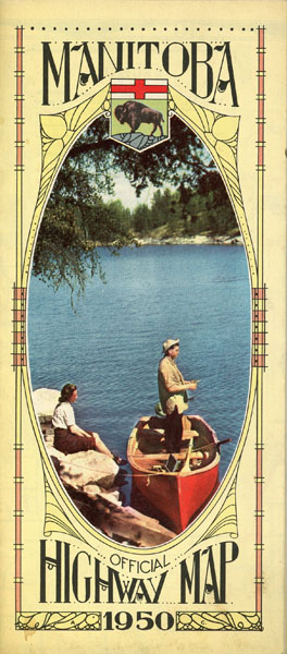

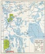
Manitoba. Official Hihway Map. 1950
Department Of Public Works
Other works by Department Of Public WorksPublication: Privately printed, 1950, Manitoba
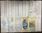
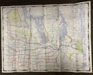
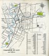
18 1/2' x 24" sheet, folded to 24 panels. One side offers 2 colorful cover panels, information on the historic sites of Manitoba, a list of distances from Winnipeg to important Canadian and United States cities, a listing of Provincial Trunk Highways as well as a 2-panel tourist street map of the city of Winnipeg and a 2-panel road system map of the northern area of Manitoba, showing paved, oiled, gravel trunk highways, etc. and points of entries, highway numbers, ferries, etc. Opposite 12 panels offer a road system map of Manitoba. Light soiling to cover panels, else near fine.
Inventory Number: 49463Sold -- Contact usRelated Books
![Voices From South Dakota. Actual Experiences Of Actual Residents WILSON, E. P. [GEN'L PASSENGER AGENT].](/media/images/thumb/33116.jpg)

![Guns Of Fort Fisher. DE GRAFFENREID, GAINES [CURATOR/HOMER GARRISON MEMORIAL MUSEUM, FORT FISHER]](/media/images/thumb/38740.jpg)