Dealer in Rare and First-Edition Books: Western Americana; Mystery, Detective, and Espionage Fiction
John Day Valley, Oregon
UNKNOWN
Other works by UNKNOWNPublication: The Commercial Club, 1910, Prairie City
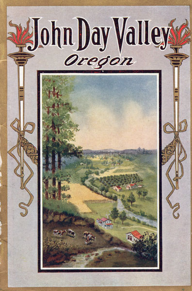
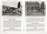
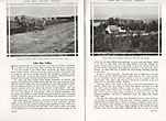
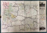
First edition. 9" x 6" in color pictorial wrappers. 32pp. Foreword. Illustrations. Inside front and rear wrappers are colorful pictures. Map. Offers information about John Day Valley to include mining, stock-raising, commercial orchards, vegetables, irrigation, farming, the elevation and climate, timber resources, prices of land, towns of the county etc... Black and white illustrations include cattle, sheep, the lake at Blue Mountain Hot Springs, orchards, scenery, farmland, schools, schoolchildren and teachers, automobiles being used by the John Day Valley people in Prairie City, a large water wheel that furnishes power for crushing ore from the rich mineral veins of Grant County etc. Double-page scenic map at center shows the Sumpter Valley Ry, the John Bay River; Prairie City; Dixie Creek; Pine Creek; Strawberry Lake; Indian Creek; and others. Inset is a black and white map showing "John Day Valley" in relation to Oregon. Very nice booklet with center page disbound from staples, rubbing to the spine and light wear to the extremities. Very informative.
Inventory Number: 46135


