Dealer in Rare and First-Edition Books: Western Americana; Mystery, Detective, and Espionage Fiction
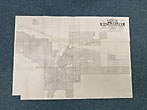
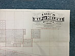
Ide's Map Of Helena, Montana, 1888
REEDER, GEORGE K. & HELMICK, CHARLES W.
Other works by REEDER, GEORGE K. & HELMICK, CHARLES W.Publication: Published by Arthur W Ide, 1888, Minneapolis
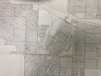
Map is 53.5 x 75.5 cm [21 1/8" x 29 3/4"] printed in red and black ink and folds to 7 1/2" x 7 1/2." Lithographed by Harrison & Smith of Minneapolis. Scale is 300 feet to the inch. Detailed street and lot map of Helena, Montana, with the 'additions' (neighborhoods) named, and outlined in red. Rail lines are located. Rare we locate a single institutional copy (Yale). Lower left corner clipped, cellophane tape on the verso giving support to a few fold creases, small deaccession stamp on verso from the Montana State Historical Society, else a very good copy.
Inventory Number: 48357$1,500.00


