Dealer in Rare and First-Edition Books: Western Americana; Mystery, Detective, and Espionage Fiction
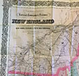
G. Woolworth Colton's Railroad, Township & Distance Map Of New England With Adjacent Portions Of New York, Canada And New Brunswick
G. WOOLWORTH COLTON
Other works by G. WOOLWORTH COLTONPublication: G W & C B Colton & Co, 1884, New York
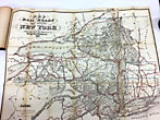
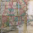
A remarkably well preserved - and obviously unused - Colton pocket map of railroads through New England, upstate New York, Hudson Valley and lower Quebec Canada. Printed on tissue-weight paper which is as bright as we have seen as are the colored outlines of boundaries. Completely in original folds as issued, attached as issued to brown cloth booklet with gilt titles. Fully expanded approx 26.5" x 38." Colton started mapping railroads early on, around 1853: this one, dated 1884, shows almost the mature development of all lines running north and south and criss-crossing east west across New England and New York. There may be a copy as good as this one, but there will be none better!
Inventory Number: 48400$2,250.00


