Dealer in Rare and First-Edition Books: Western Americana; Mystery, Detective, and Espionage Fiction

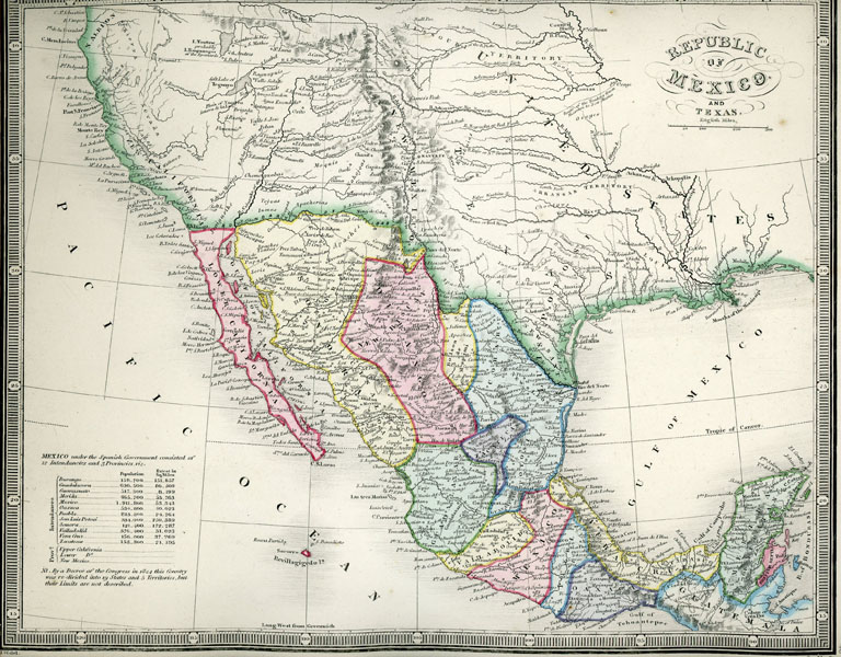
Early Western Map Of The Republic Of Mexico And Texas
JAMES WYLD
Other works by JAMES WYLDPublication: James Wyld, Charring Cross, n d (ca 1848), London
Early western map 22 x 27 cm [8 3/4" x 10 3/4"] on a single sheet that shows the Buenaventura River flowing from 'Salt Lake of Tequayo. Legend at lower left offers population and area sizes of the Mexican states. Texas is shown as including all territory north and east of the Rio Grande, including Santa Fe, Taos, and much of New Mexico. Nice near fine condition with hand tinted borders. Not in Moffat. Not in Wheat.
Inventory Number: 52494$875.00


