Dealer in Rare and First-Edition Books: Western Americana; Mystery, Detective, and Espionage Fiction
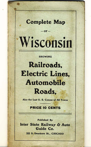
Complete Map Of Wisconsin Showing Railroads, Electric Lines, Automobile Roads, Also The Last U. S. Census Of All Towns
INTER STATE RAILWAY & AUTO GUIDE CO.
Other works by INTER STATE RAILWAY & AUTO GUIDE CO.Publication: Inter State Railway & Auto Guide Co, 1913, Chicago
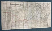
First edition. 21 1/2' x 28 1/2" heavily colored map with indexing and populations on the reverse side. Detailed map of Wisconsin's railroads, electric lines, and automobile roads on the front side. All folded neatly into a 7" x 3 1/2" printed cardboard folder. Folder covers are lightly soiled, else map is in fine, unused condition.
Inventory Number: 34042Sold -- Contact us


![Westward To A High Mountain. The Colorado Writings Of Helen Hunt Jackson WEST, MARK I. [EDITED BY]](/media/images/thumb/50260.jpg)


