Dealer in Rare and First-Edition Books: Western Americana; Mystery, Detective, and Espionage Fiction
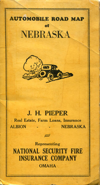
Automobile Road Map Of Nebraska
Produced By J.H. Pieper, Albion, Nebraska
Other works by Produced By J.H. Pieper, Albion, NebraskaPublication: Clason Map Co, 1925, Chicago
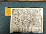
20 1/2" x 27 1/2" map folded to 24 panels and enclosed in 7 1/4" x 4" stiff yellow printed wrappers. Inside front cover are calendars for 1925 and 1926. Map is entitled, "Mileage Map of the Best Roads of Nebraska Showing - State Highways - Improved Roads - Road Distances. Offers a marker listing of National Trails and the location of each on the map; a road legend and an Index. Map is fine. Covers are lightly soiled and with bumps to corners and a light crease to top right corner of front cover.
Inventory Number: 42616$150.00


![World War I Sheet Music ... Just Like Washington Crossed The Dalaware, General Pershing Will Cross The Rhine JOHNSON, HOWARD [WORDS BY]; MUSIC BY GEO W. MEYER](/media/images/thumb/40185.jpg)


![Go West! On Harvey's Excursion To Nebraska. 9" X 25" Broadside. HARVEY, A.C. [GEN'L LAND AGENT].](/media/images/thumb/29593.jpg)


