Dealer in Rare and First-Edition Books: Western Americana; Mystery, Detective, and Espionage Fiction
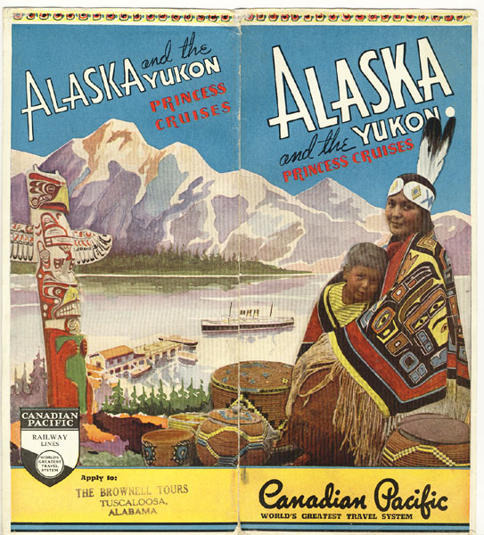
Alaska And The Yukon Princess Cruises
CANADIAN PACIFIC RAILWAY
Other works by CANADIAN PACIFIC RAILWAYPublication: Privately printed, 1939, N P
First edition. 8vo. 9" x 4" color, pictorial, wraparound wrappers, (4) pp. (including covers), illustrated, map. The map opens to a 20" x 8" color map that shows the travel from Vancouver along the inland waterways with all the stops shown and finally reaching Skagway to complete the journey inland to Dawson. On the right side of the map are all the ports visited along with a brief sketch of each. A small tear along the spine fold has been repaired by a paper conservator, else near fine with the map in fine, unused condition.
Inventory Number: 39102$125.00


