Dealer in Rare and First-Edition Books: Western Americana; Mystery, Detective, and Espionage Fiction
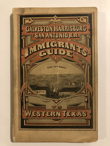
A Description Of Western Texas, Published By The Galveston, Harrisburg & San Antonio Railway Company, The Sunset Route...
M. (COMPILER) WHILLDIN
Other works by M. (COMPILER) WHILLDINPublication: Printed At The "News" Steam Book & Job Office, 1876, Galveston, 1976
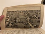
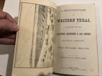
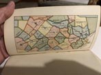
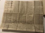
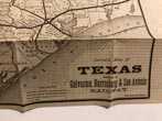
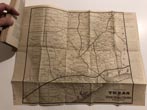
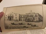
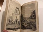
First Edition. Stiff Colored Pictorial Wrappers. 120pp. 27 Lithographed Plates. Untitled Color Map on inside of front wrapper. An extensively illustrated guide for prospective immigrants to western Texas, published by the Galveston, Harrisburg & San Antonio Railway Company. The book presents a glowing and highly readable description of the prospects of western Texas, with an emphasis on cattle raising. The text provides descriptions of the cities, towns, and counties of western Texas, complemented by additional information on a variety of topics of interest for those considering a move to the region. The black-and-white lithographic plates are primarily views of cities and towns, including new settlements along the railroad route, including business buildings, houses, railroads, and cattle, with other rural scenes as well. The images of settled areas include Galveston, Weimar, Flatonia, Gonzales, New Braunfels, San Antonio, and various missions. A large part of the book is devoted to San Antonio, with views of the town and several missions, including the Alamo, and the latter part of the book describes various parts of Texas west of San Antonio. "San Antonio was reached on February 5, 1877. This was one of the most momentous events in the history of that city. For over a quarter of a century her citizens had sought a railroad to the Gulf...There was a reason for the enthusiastic welcome at San Antonio. It met the need for a road to the Gulf and also gave a rail connection with Central Texas and the East. It put San Antonio 'on the map'".--A HISTORY OF TEXAS RAILROADS, p.194-195. Executed in an accomplished, understated style, the lithographs serve as a marvelous invitation to the region. Though the text was printed in Galveston, at the offices of the "News", the plates were printed in St. Louis by the A. Gast & Company, as the Galveston newspaper had been forced to sell its lithographic steam press in the wake of the panic go 1873. Other illustrations include a lithographic plate with portraits of four major Texas figures (Sam Houston, Anson Jones, M. B. Lamar, and David G. Burnet), and a colored map printed on the verso of the front wrapper showing the Sun Set Route and identifying the counties of the region. In addition, this copy has an additional large folding broadsheet, promotional map, tipped-in inside of rear wrapper. The map, which measures 19"x15", is titled Correct Map Of Texas Published by the Galveston, Harrisburg & San Antonio Railway. The map shows all of central and eastern Texas from Fort Concho to the Louisiana border, as far north as the Indian Territory. The map doubles as a broadside, with an extensive printed text on verso under the title: Western Texas. A Trip from Houston to San Antonio, over the Galveston, Harrisburg & San Antonio Railway. The Sunset Route. This text comprises an article on western Texas by "An Old Texan." This text is styled as a "second edition," apparently referencing an earlier iteration of the "Old Texan's" account, perhaps printed as a pamphlet or some other publication. A rare Texas railroad promotional. Originally chartered as the Buffalo Bayou, Brazos and Colorado Railway Company, the railroad, which was the first to begin operations in Texas (1853), changed its name to the Galveston, Harrisburg & San Antonio Railway Company on July 27, 1870. This pioneering western railroad stands as the first part of the famous Southern Pacific Transportation Company and was only the second railroad west of the Mississippi River. M. Whilldin, the compiler of this work, is an interesting figure. A veteran of the Union army, he worked in New Orleans and then moved to Galveston, finding work as a newspaper editor and later as a promoter for the railroads, trying to lure settlers to Texas. With only a tiny quarter-inch chip at the bottom edge of the spine and a quarter-inch closed tear to fore-edge of the rear wrapper, this rare Texas promotional is in near fine, bright, tight condition. Bibliographic records show variations in the number of lithographic plates, from 26 to 29 plates, and variances in the order in which the plates appear. Our copy has 27 plates. The additional tipped-in promotional map has two short closed tears to the edge, is also in near fine condition. A truly choice copy, protected in a four-point folding slipcase with leather spine stamped in gilt.
Inventory Number: 52986







![Northern Arizona Death And Burial Records 1870-1910 WHITESIDE, DORA M. [COMPILED BY]](/media/images/thumb/46506.jpg)


