Dealer in Rare and First-Edition Books: Western Americana; Mystery, Detective, and Espionage Fiction

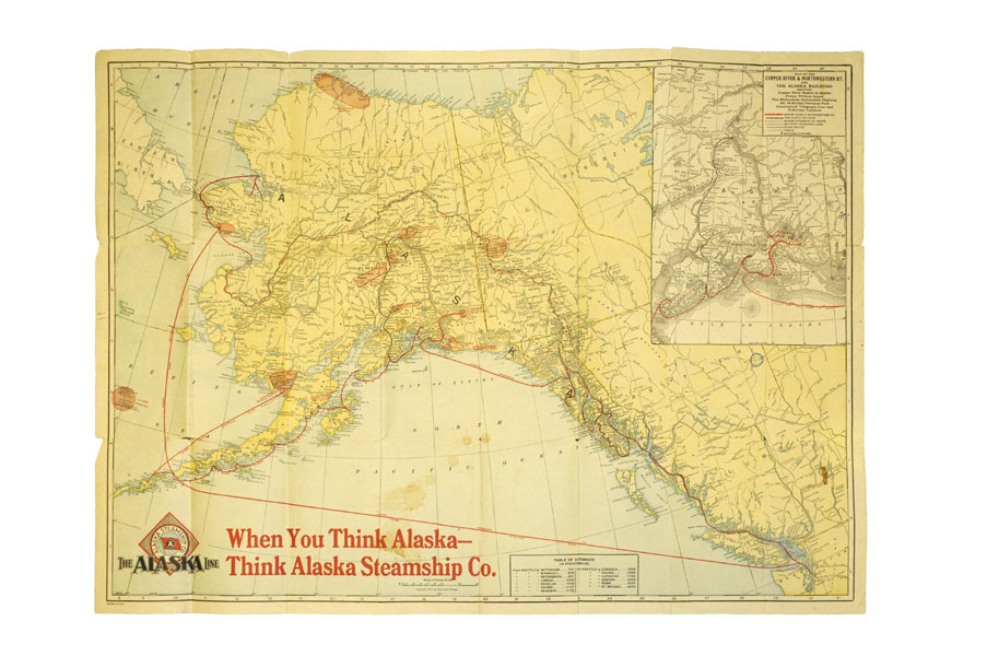
31 1/4" X 22 1/2" Color Map Of Alaska By Alaska Steamship Company
ALASKA STEAMSHIP CO.
Other works by ALASKA STEAMSHIP CO.Publication: Poole Bros, 1917, Chicago
First edition. A full-color folded map of Alaska showing both the coastal and seagoing routes that leave from Seattle to Alaska by the Alaska Steamship Company. Points of interest are indicated in red and include the Klondike Region, Fairbanks Gold Placers, Mt. McKinley National Park, Kennecott Copper Mines, etc. In the upper right corner is an 11" x 8" inset black & white map of the Copper River & Northwestern RY. and the Alaska Railroad showing Copper River Region in Alaska, Prince William Sound, the Richardson Automobile Highway, Mt. McKinley National Park, and Government Telegraph Line and Tributary Territory. Map has a few tears at folds, some soiling to the map's surface, and general wear from handling and use. Overall a good map of Alaska.
Inventory Number: 37386


