Dealer in Rare and First-Edition Books: Western Americana; Mystery, Detective, and Espionage Fiction
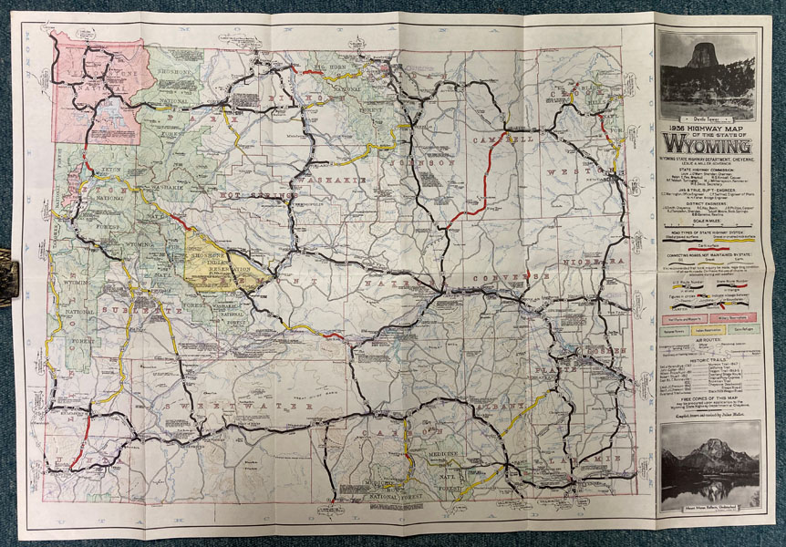
1936 Highway Map Of The State Of Wyoming
CHEYENNE WYOMING STATE HIGHWAY DEPARTMENT
Other works by CHEYENNE WYOMING STATE HIGHWAY DEPARTMENTPublication: Wyoming State Highway Department, 1936, Cheyenne
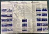
A large 20" x 29 1/2" colored map of Wyoming, compiled, drawn and revised by Julius Muller, that folds to 5" x 10." One side is the colored map of Wyoming that provides information on oiled or paved surface roads, gravel or crushed rock surfaces, earth surfaces, National Parks, Military Reservations, National Forests, Indian Reservations, Game Refuges, U. S. and State highways, air routes and historic trails. The verso contains twelve 5" x 10" panels that are full of photographs and information concerning Wyoming resources, Indian Battle Grounds, Historic Forts and Outposts, Pioneer Stage, Pony Express and Telegraph Station; Outstanding Points of Interest In Wyoming National Parks. Also a mileage tabulation chart and a small map of the western part of the United States with the state of Wyoming outlined. A fine copy in exceptional condition without crease tears or wear to the extremities.
Inventory Number: 49278


![Hand Book Of Colorado For Citizen And Traveler. Third Year Of Publication BLAKE, J. A. & F. C. WILLETT [PUBLISHERS]](/media/images/thumb/51081.jpg)


