Dealer in Rare and First-Edition Books: Western Americana; Mystery, Detective, and Espionage Fiction
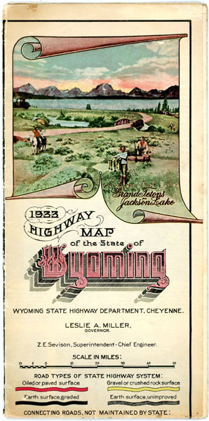
1933 Highway Map Of The State Of Wyoming
WYOMING STATE HIGHWAY DEPARTMENT
Other works by WYOMING STATE HIGHWAY DEPARTMENTPublication: Wyoming State Highway Department, 1933, Cheyenne
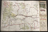
A 49 cm x 61 cm [19 1/4" x 24"] printed in color on a one sheet of 51 cm x 74.5 cm [20" x 29 3/8"] that folds to 25 cm x 12,5 cm [9 7/8" x 4 7/8"]. Early road map for Wyoming with a legend that helps to locate roads, National Parks, National Forests, Game Refuges, Military Reservations and Indian Reservations. 16 historic trails (Oregon, Mormon, Pony Express, etc.) through the state are also marked. Reverse contains a mileage chart, facts and date about the state and brief histories of all 23 counties (each with a small image). "To the Road User: The Wyoming State Highway Department is making every possible effort to make your roads easy riding and safe. However, the safety of the roads depends on you and your fellow road users. Cooperate with them to save your life and theirs." Some light splitting at fold points, covers lightly soiled, a few small closed tears to the fore-edges, and lightly used, else a very good map. Not listed in Rumsey and eight holdings listed in OCLC. Scarce.
Inventory Number: 46589


